GIS MAPS

maps

GIS Maps

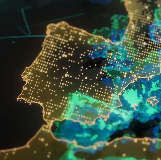
Combine Insights from Maps, Data and Science.

SPATIALMATRIX’s GIS MAPS bring together the perfect blend of science, geographic data, and advanced capabilities. This powerful combination enables organizations to make smarter decisions, enhance workflows, and optimize land resource management more effectively than ever.

By utilizing SPATIALMATRIX’s data and insights, you also gain access to ESRI’s ArcGIS platform— the world’s most comprehensive GIS—available through a named user licensing model.

 
  • Enhanced Efficiency: Streamline land management processes and minimize manual data entry, saving both time and resources.
  • Data Accuracy: Keep your land records and maps accurate and up-to-date at all times.
  • Informed Decision-Making: Base your decisions on geospatial insights and data-driven analysis.
  • Improved Collaboration: Facilitate collaboration between geospatial experts and land management teams with a reliable, up-to-date platform.
  • Increased Productivity: Enable you and your team to collaborate more efficiently by removing data silos and eliminating duplication.
 
-------------------

What you’ll get with SpatialMatrix GIS Maps

 To gain a thorough overview with in-depth insights from more than 500 attributes across all departments and teams in your system, you can search by address, title number, ownership, and land parcel information. You can anticipate the following from SPATIALMATRIX's GIS MAPS:

Geospatial Science

With its unmatched mapping, geographical analysis, and data visualization capabilities, spatialmatrix GIS MAPS gives you the robust geographic data you need to understand your land and property better.
Seamless Integration

Land management procedures and your geographic data can be seamlessly connected within your Geographic Information System thanks to the adaptable, simple-to-integrate API, which guarantees reliable data and access to non-comparable insights. .
Real Time Data Updates

  Modifications are processed instantaneously and reflected promptly throughout all of your teams and departments, guaranteeing the correctness and consistency of the data across the whole organization.
Search

Make your data search unique to the requirements of your company. You may conduct any search for attribute enrichment on any address, title number, ownership, or other properties of a land parcel because all the data is coupled together.
GeoSpatial Analysis

Make data-driven judgments by using geospatial analysis to assess buildings, addresses, postcodes, and land parcels in order to spot possible hazards. Discover hidden patterns and trends in the completely connected data while visualizing all the information that is pertinent to your choice in a single view. .
Land and Property Portfolio Management

Improve your land and property management with better insights that will help you manage your properties and land parcels more easily by maximizing returns and optimizing resources.